DroneDeploy Joins Forces with Corteva to Bring In-Field Analytics to Farmers
Leading enterprise drone data platform DroneDeploy announced a collaboration with one of the world’s largest pure-play agricultural organizations, Corteva Agriscience to bring improved management decisions to farmers year-round.
Corteva operates one of the largest agricultural drone fleets in the world, helping farmers to plant and harvest efficiently, safely, and sustainably. DroneDeploy provides streamlined data capture and analysis capabilities for Corteva’s fleet of more than 600 drones and is now the first third-party company approved to license Corteva’s proprietary Stand Assessment Artificial Intelligence (AI) and machine learning technology.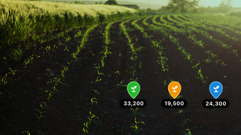
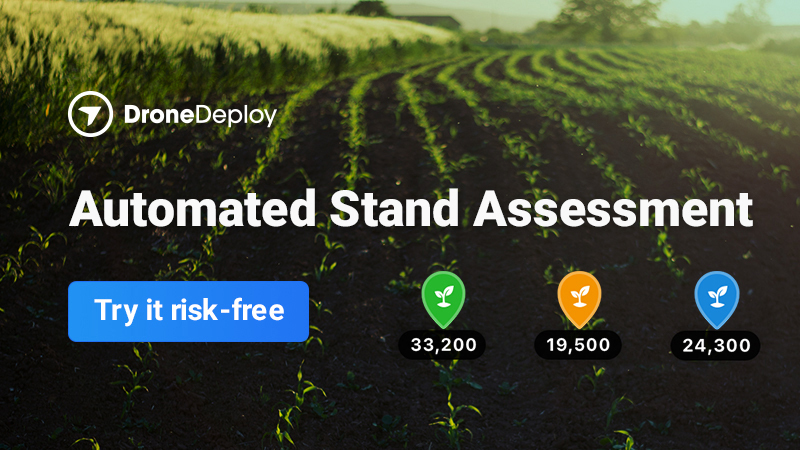
DroneDeploy has leveraged Corteva’s proven machine learning algorithms to build its new Stand Assessment solution. Stand Assessment is a complete flight, capture, analysis and reporting workflow designed to determine crop emergence for early-stage fields. It is currently in use across Corteva’s global fleet of more than 600 drones and will soon be offered to all of DroneDeploy’s agriculture customers in the U.S.
Faster and More Accurate Data Collection
Current processes to review early crop growth are manual, time-consuming and often inaccurate. Stand Assessment provides a faster, automated and streamlined workflow that is completed offline at the field edge to help farmers make decisions about replanting, monitor seed and crop health, and diagnose existing issues in the field before larger issues arise.
Across the growing season, DroneDeploy is instrumental in evaluating product performance through its field-edge mapping, multispectral processing, and automated stand assessments. Stand Assessment mission-planning enables agriculture manufacturers, service providers, and growers to quickly scan their fields to capture the data needed for stand counts. They can:
- Customize their drone mission mission plan based on crop type, field area, flight path, and row spacing
- Ensure that data is captured at a consistent height above the crop canopy to enhance stand count accuracy with auto-enable terrain awareness
Analysis at the Field’s Edge
In less than 30 minutes, a DroneDeploy user can analyze 100 acres — without needing an internet connection:
- DroneDeploy has partnered with Corteva Agriscience to leverage machine-learning to quickly and accurately assess early-season crop emergence, with the ability to distinguish male and female rows
- Agriculture professionals can easily identify areas of good, moderate, and poor emergence with summarized population scores, gap counts, and annotated images
Collaboration Across Teams and With Customers
 Once data has been processed, DroneDeploy users can share reports with colleagues and customers by:
- Sharing stand assessment reports via email or text to make replant decisions quickly
- Accessing stand count results via API to sync data to internal systems of record
DroneDeploy will demonstrate Stand Assessment for the first time at its Field Day event on March 10, 2021. To learn more about Field Day and register to attend, visit the website. If your calendar is busy that day, you can register and access all of the recordings after the event.