
Drones & Imagery
-
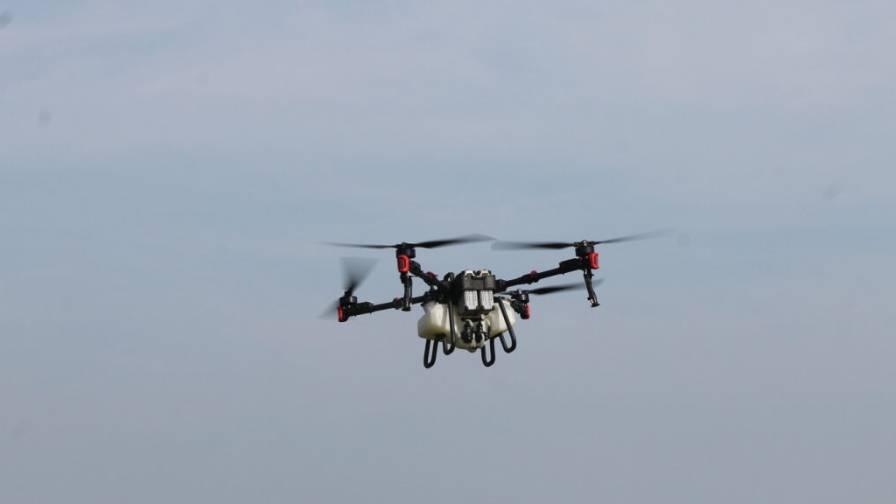
Is the Drone Age Finally Upon Us?
The promise that drones hinted at when they first appeared on the ag technology scene may be finally coming to pass, says Editor Eric…
-
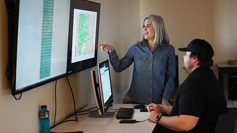
Drone Imagery Analysis to Help Increase Soybean Yield in Wake of Climate Change
Purdue to receive data on 1,200 soybean varieties from breeders in 11 states.
-
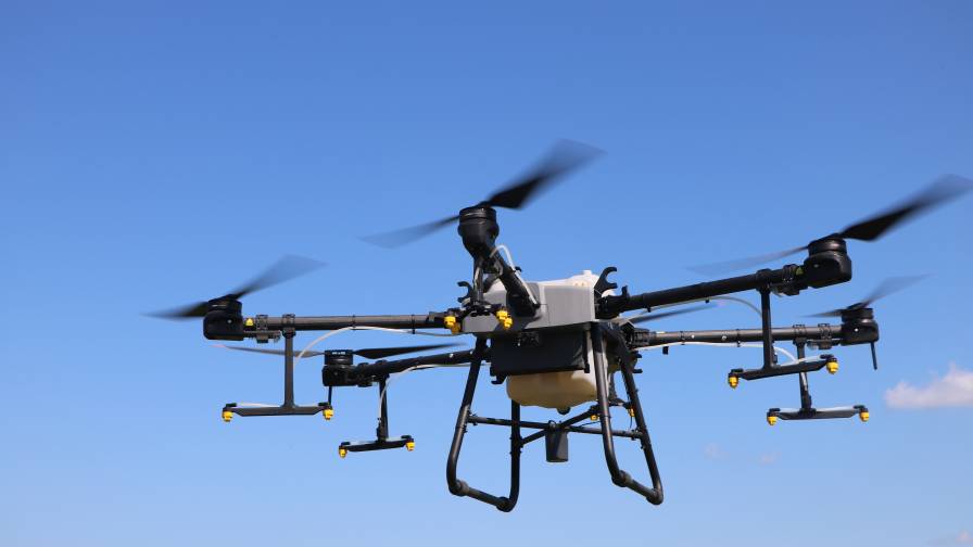
Agricultural Drone Market Flying to Such Great Heights
Technology lifts the drone market to new levels as the ag community becomes more comfortable with these tools.
-
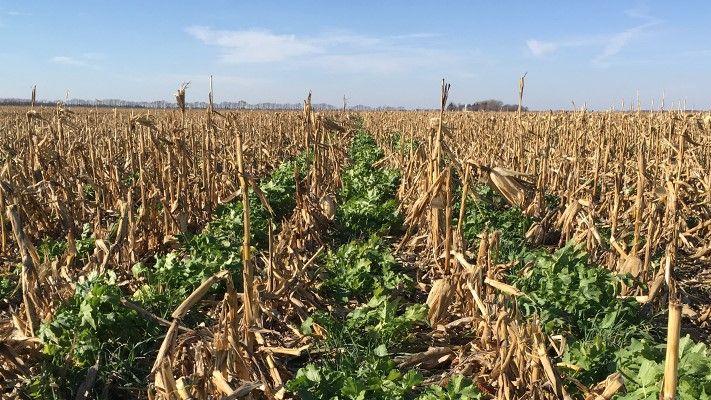
New OpTIS Data From Satellite Imagery Show 2.5x Rise in Corn Belt Cover Crops
Corn Belt cover crop acres climbed from 2.8 million to 7.5 million between 2015 and 2021.
-
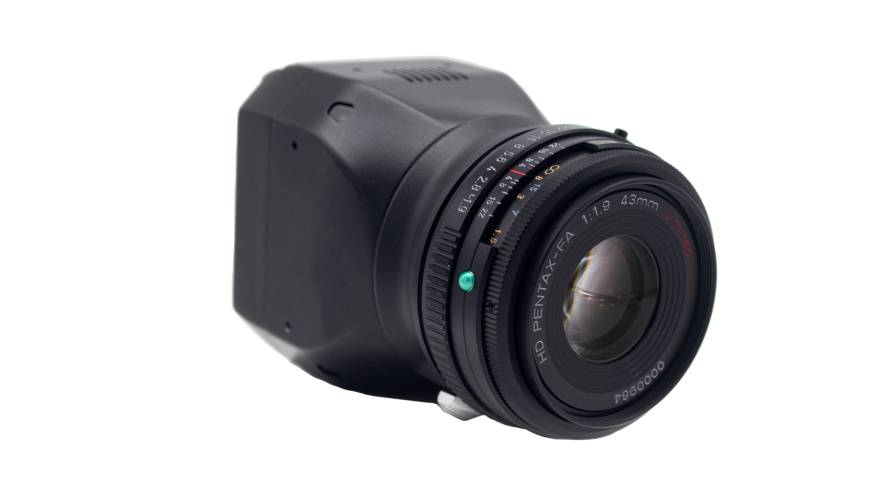
Sentera Launches Ultra-High-Resolution Aerial Imagery Sensor
65R sensor delivers sharper imagery for more precise agronomic analysis.
-
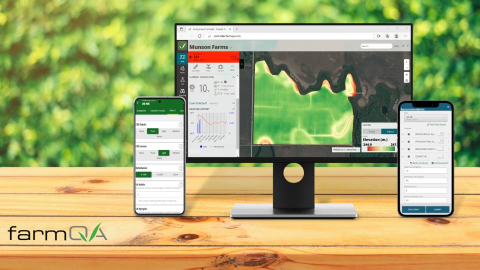
FarmQA Partners with Planet for High Resolution Daily Satellite Imagery
Further equip agronomists, crop consultants, and growers with the field-specific imagery they need to diagnose problems.
-
Airbus to Provide Imagery Services That Enable Intelinair’s Crop Analytics Platform
The use of satellites will provide the ability to serve growers and ag retail channel partners on a global scale.
-
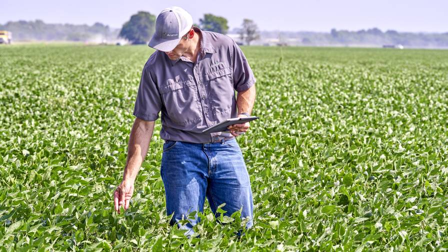
Aerial Imagery Offers High-Tech Scouting Options
More and more farmers and trusted advisors are using satellites and drones to focus their management decisions.
-
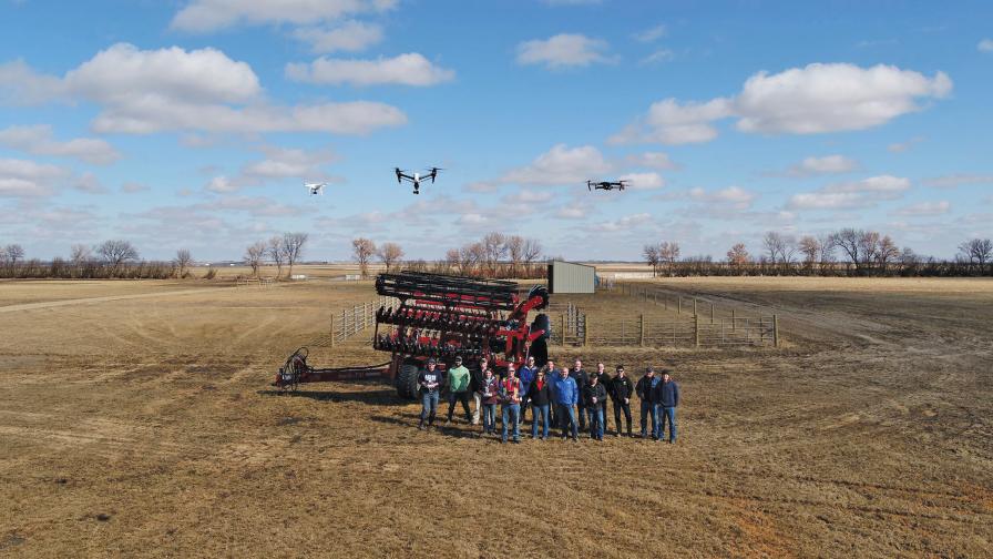
Aerial Imagery Market Evolving, Embracing Efficiencies
It’s been fun watching the aerial imagery market mature over these last few years. Here’s some of the latest from the world of drones,…
-

Scouting in the Ag Tech Era: Imagery Helps Agronomists Zero In
Editor’s note: This article originally published in June 2019. How has imagery revolutionized the traditionally oh-so-time-consuming-task of in-season crop scouting in the Ag Tech…
Recently Posted



Newsletter
The ag retail brief, twice a week
Input pricing, distribution moves, and the equipment that actually ships.
Free · unsubscribe anytime