Field Imagery Much More Than Just a Pretty Picture
Precision agriculture has had a rough go since it was first conceptualized in the mid-1990s with the advent of the yield monitor, writes Ralph Pearce at Country Guide. At that point, “variable rate” became part of agriculture’s vocabulary, followed by zone mapping, aerial imagery and a growing list of technologies now available to growers.
Yet there’s still reluctance to rely too much on some of the applications. Yield monitors are standard issue on combines today, and although data are available to create zone maps, not many farmers do. This reticence is unusual, to say the least, in an industry that typically snaps up new technology. Is it because precision hasn’t made its case? Do zone maps, soil tests and tracking in-season field conditions only add to costs, without creating revenue-enhancing benefits?
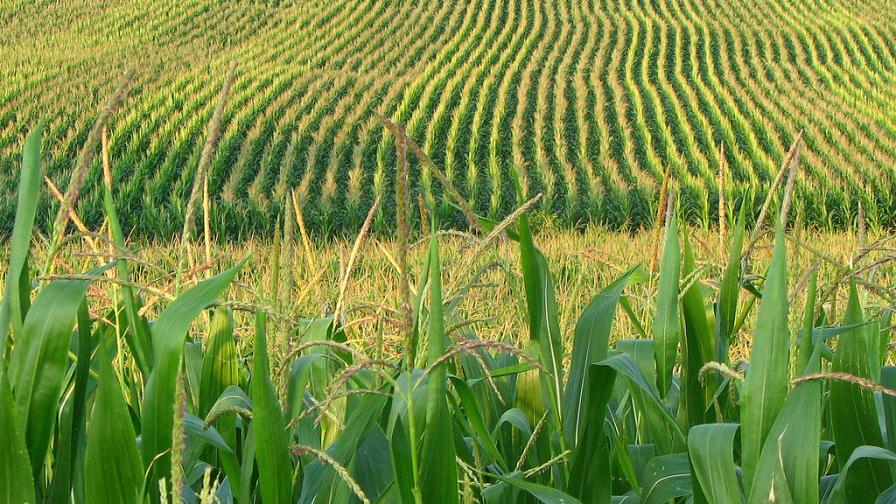
Perhaps one of the more confusing components within the precision ag sphere is the use of aerial or overhead imagery, which has evolved faster than other components within the sector. Yet in spite of the potential for monitoring crop conditions, there’s a widespread feeling they’re just “pretty pictures” that aren’t worth the price.


Continue reading at Country Guide.
Subscribe Today For
