Ogallala Aquifer At Risk
The Ogallala Aquifer, with total water storage capacity about equal to that of Lake Huron in the Midwest, is the single most important source of water in the High Plains, providing nearly all the water for residential, industrial and agricultural use.
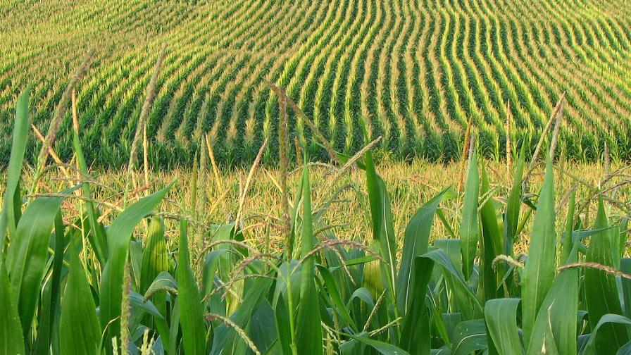
Because of widespread irrigation, farming accounts for 94% of groundwater use — and use of the Ogallala. Irrigated ag forms the base of the regional economy, actually supporting nearly one-fifth of the wheat, corn, cotton, and cattle produced in the U.S.
[Related: Nebraska Getting Water Conservation Right]


According to the U.S. Geological Survey, water levels across most of the Ogallala have fallen at least five feet since farmers began irrigating the Great Plains in the 1940s. Almost one-fifth of the area has dropped at least 25 feet, while 11% has lost 50 feet or more.
The rates of drawdown and recharge vary from one location to another — as a result, not all counties within a state or all states within the Ogallala region face the same degree of crisis.
In some of the most-affected areas of Kansas and Texas, the water table has declined as much as 200 feet. Recent drought conditions have compounded the problem, drying up riverbeds and forcing farmers to rely even more heavily on groundwater.
Nebraska has maintained generally stable water levels at the same time its irrigated economy has grown, says Nate Jenkins, assistant manager of the Upper Republican Natural Resources District there. Why? High groundwater recharge rates in some areas of the state with limited water use have helped. And Jenkins gives much credit to the efforts of Nebraska’s system of locally governed Natural Resources Districts.
Subscribe Today For
