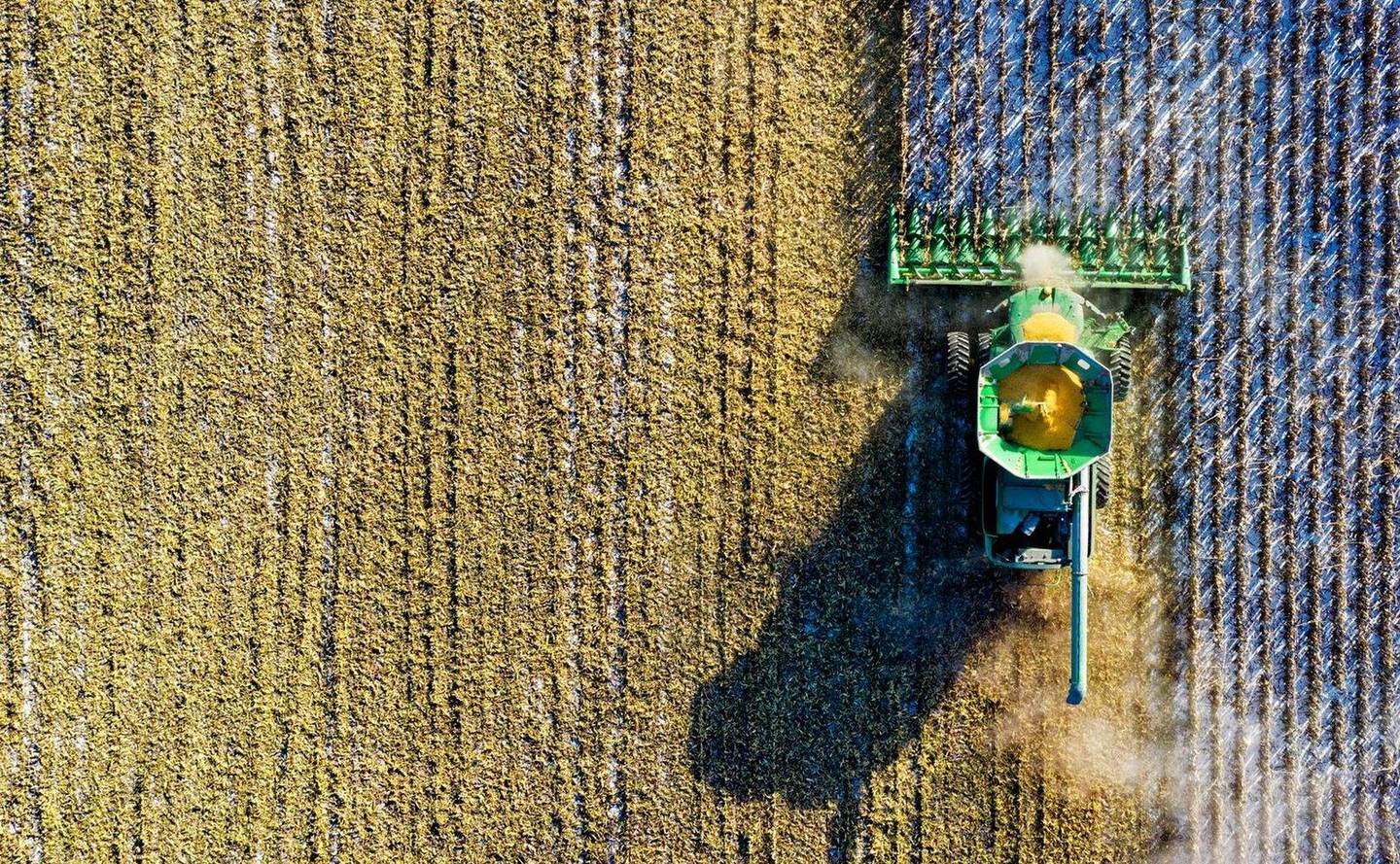

How can AI-enhanced satellite imagery give agronomists and growers a clearer view of what’s happening in their fields without relying on aircraft or drones? In this 2026 Tech Talk, Lanny Faleide of SatShot introduces the company’s new Super Resolution technology, which uses advanced AI-powered processing to enhance widely available satellite imagery to a 1-meter resolution. Learn how this breakthrough helps users identify field variability, crop damage, application issues, and management zones with unprecedented detail from virtually anywhere in the world. Discover how high-resolution satellite analytics can support crop scouting, variable-rate management, crop insurance investigations, and agronomic decision-making by revealing patterns that traditional remote sensing methods may miss.

Most Read
-
CropLife Retail Week: Syngenta President Retires, Corn and Soybean Harvest Delays, and EPA Biofuel Shift
-
Helping Growers Diversify: How Ag Retailers Can Guide Farmers Beyond Corn and Soybeans
-
Precision Fertilizer Blending®
-
From Selling Inputs to Selling Outcomes: How Ag Retailers Can Prove Their Value to Growers
IRON Featured Products
- NL7 SeriesFrom New Leader
- Autobatch™ with Dual 13-Ton Rotary Blenders & 8 HoppersFrom Doyle Equipment Manufacturing Co.
- Sackett-Waconia AccuBlend™ systemsFrom Sackett-Waconia
- SMART Design Series – Raised Valve HandleFrom TerreMax®
- Armor Building: Built for Fertilizer Storage PerformanceFrom Legacy Building Solutions
- VPA 1000 TenderFrom Titan Machinery





Upcoming Events
Newsletter
The ag retail brief, twice a week
Input pricing, distribution moves, and the equipment that actually ships.
Free · unsubscribe anytime