Drone Technology Provides Precision Ag Services From the Air
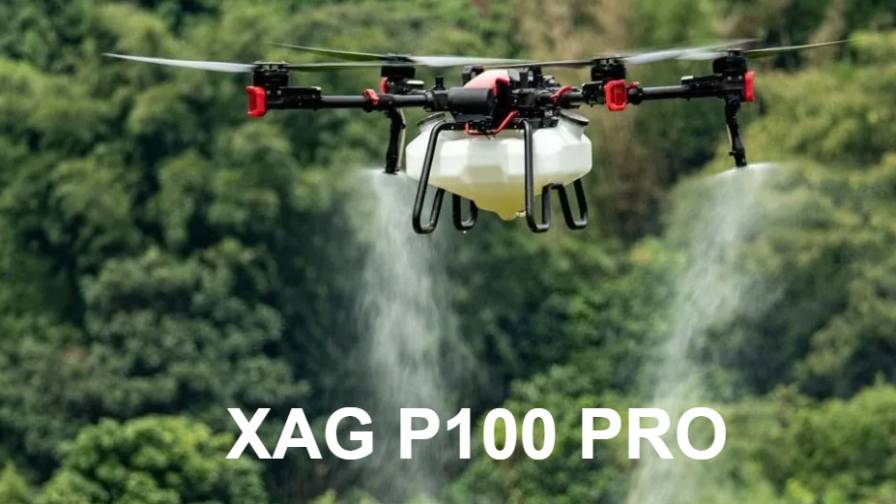
For agronomist Shawn Kand, looking down from 250 feet in the air is sometimes required for his job, writes Don Wilkins at the Messenger-Inquirer. And to achieve that bird’s-eye view, he employs a drone that can capture instant high-resolution video or photographs of cropland to address issues such as nitrogen deficiencies, irrigation problems and seeding concerns.
“It’s autonomous,” said Kand about his four-propeller drone. “I’ll plug in the boundary of the farm, set my parameters at no more than 350 feet and set the speed I want to fly. I hit go and it will take off on its own and it will fly a specific pattern over that field, taking images about every two seconds.”
Those images can be transferred to Kand’s iPad in flight, which can take about 40 minutes to cover a 64-acre field. From there, Kand, who owns BackRoads Consulting, said he stitches hundreds of photos together to create a normalized different vegetative index (NDVI) map, revealing vital information that can save the farmer time and money.
Continue reading at the Messenger-Inquirer.


